Reality Capture Specialists
No Fuss Point Cloud Scanning
Fixed-price reality capture for architects, engineers, builders, and asset owners. Based in Brisbane with teams mobilised across Australia.
Projects Delivered
Clients Served
Point Accuracy
Why Choose Us
Scanning done right, every time
On Site ASAP
We mobilise quickly. Most projects are scanned within days of your brief, not weeks.
Latest Technology
Trimble X7, Trimble X9, NavVis MLX, and DJI Matrice 4T - the sharpest tools in the industry.
Subject Experts
Qualified surveyors and scanning technicians who understand your project requirements.
Speedy Deliverables
Point clouds, BIM models, and survey outputs delivered in days, not months.
Our Services
Full-spectrum scanning capability

Architectural & BIM Scanning
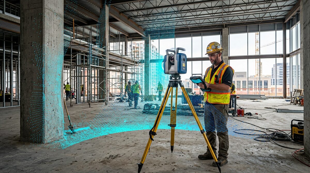
On-site laser scanning for architects, interior designers, and renovation contractors. We capture the full geometry of your building so you can design from accurate existing conditions instead of unreliable legacy drawings.
Civil & Infrastructure
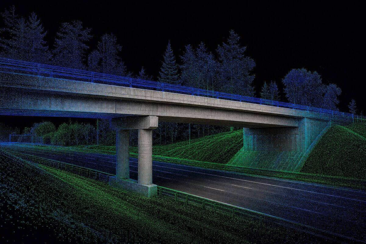
LiDAR surveys for roads, bridges, rail corridors, and civil earthworks. From design verification to as-built documentation, we capture infrastructure at any scale.
Industrial & As-Built
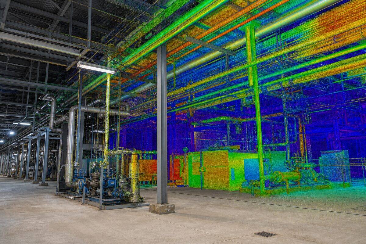
Comprehensive as-built documentation for factories, processing plants, warehouses, and mechanical installations. Capture every pipe, duct, and structural member in 3D.

Drone 3D Mapping Brisbane
Drone surveying for sites too large, too remote, or too dangerous for ground-based scanning. Our CASA-certified pilots deploy LiDAR and camera payloads for everything from 1-hectare building sites to 100-hectare mine sites.
3D Laser Scanning & Point Cloud Survey
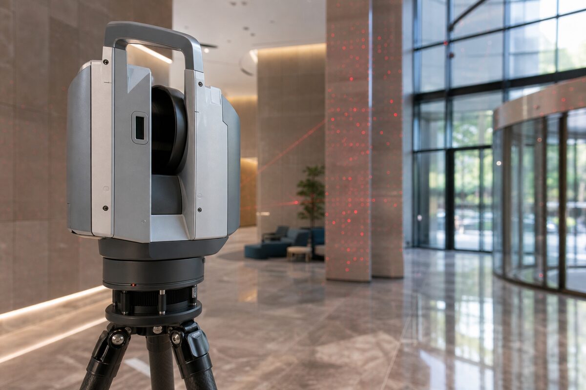
Need a building, structure, or site captured in 3D? Our laser scanning service turns physical spaces into precise digital models. We handle everything from quote through to delivery: you get clean, usable point cloud data ready for your software.
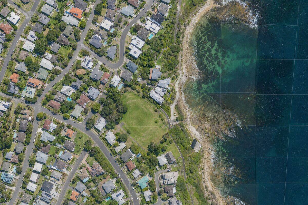
Photogrammetry Services
High-resolution aerial imagery processed into ortho-mosaics, textured 3D meshes, and surface models. Photogrammetry is the image-based alternative to LiDAR: lower cost, full colour, and ideal for visual basemaps, facade documentation, and client presentations.
Scan to BIM Modelling
Already have point cloud data? We model it into intelligent Revit or ArchiCAD BIM models at LOD 100 through LOD 400. Walls, floors, columns, MEP services, and structural steel modelled to your BIM execution plan. We accept data from any scanner.
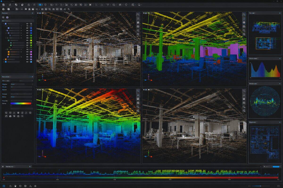
Point Cloud Processing
Point cloud processing is the set of computational operations applied to raw 3D scan data to produce clean, registered, and classified datasets ready for analysis and modelling. We handle registration, noise removal, classification, format conversion, and quality assurance.
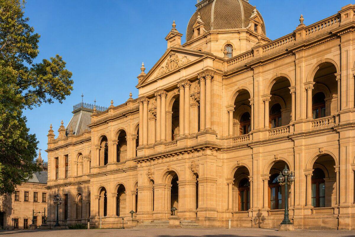
Heritage Documentation Scanning
Heritage documentation scanning is the application of 3D laser scanning to record historic buildings, monuments, and culturally important structures with archival-grade accuracy. We produce measured drawings, 3D models, and condition assessments that support conservation, adaptive reuse, and heritage compliance.
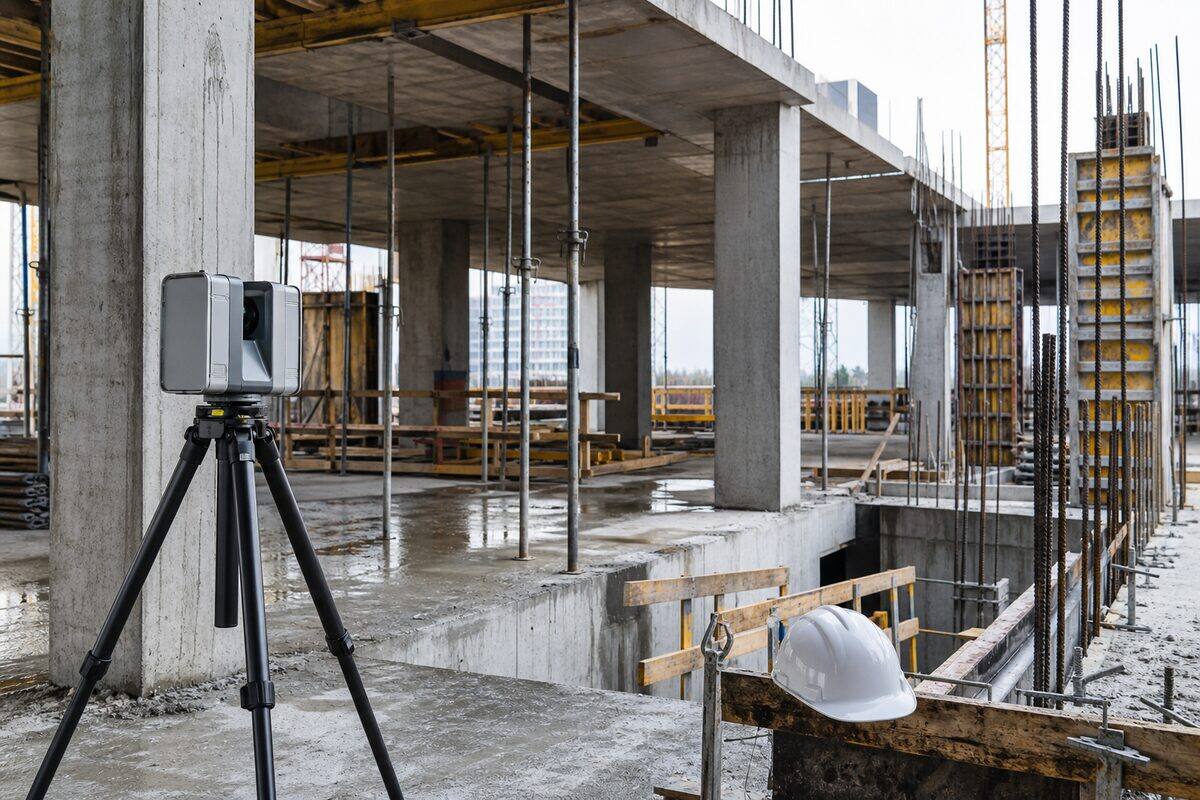
Construction Verification Scanning
Construction verification scanning is the use of 3D laser scanning to compare as-built construction against design models, detecting deviations, verifying setout accuracy, and documenting progress at each construction stage.
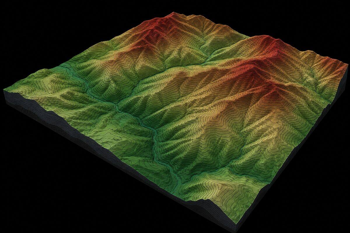
Topographic Survey Brisbane
Terrain models, contour plans, and earthworks volumes delivered from airborne LiDAR. We survey land at 50x the detail of traditional total station methods, penetrate vegetation canopy to map ground level, and produce contours at intervals as fine as 0.25m.

Point Cloud to CAD
Already have a point cloud? We convert it into accurate 2D CAD drawings: plans, sections, and elevations drafted in DWG, DXF, or DGN. Point cloud to CAD is the as-built drafting workflow for teams who need clean 2D documentation rather than a 3D model. We accept scan data from any scanner.
How It Works
Four steps to your point cloud
Scope
We review your project, define deliverables, and provide a fixed-price quote.
Capture
Our technicians deploy LiDAR scanners and drones to capture your site in 3D.
Process
Raw data is registered, cleaned, and quality-checked against accuracy targets.
Deliver
You receive point clouds, models, and reports via secure cloud link.
Our Equipment
Industry-leading hardware
Trimble X7
Survey-grade accuracy, self-levelling, auto-calibration
Trimble X9
High-speed survey-grade capture with automated in-field calibration
NavVis MLX
Walking-speed capture for rapid indoor mapping
DJI Matrice 4T
Long-endurance drone with RTK positioning
DJI Mini 5 Pro
Compact drone for confined sites and rapid aerial inspection
facadeinspect.au
Browser-based point cloud viewer for measurement and collaboration
Technology Partners








FAQ
Common questions about 3D scanning
What is point cloud scanning?
Point cloud scanning, also called 3D laser scanning or LiDAR survey, captures millions of measured points across a site to build an accurate 3D record of what is really there. A laser scanner records the exact position of every surface it can see. The result is a point cloud you can measure, model, and share. It replaces slow hand measurement and removes guesswork from existing-condition data for architects, engineers, and builders.
How much does 3D laser scanning cost?
A single-floor commercial space under 500m2 typically starts around $1,500 to $2,500 for a point cloud deliverable. Cost depends on site size, complexity, and the deliverables you need, such as BIM models or CAD drawings. We give a fixed-price quote before any site visit, so there are no hourly rates and no surprises. Use our online pricing calculator for an instant estimate, or contact us for a tailored quote.
LiDAR vs photogrammetry: what is the difference?
LiDAR uses laser pulses to measure distance and build a 3D point cloud directly. It works in any lighting and delivers millimetre-level accuracy, so we use it for building interiors and precision work. Photogrammetry reconstructs 3D geometry from overlapping photographs and produces colour-rich models that suit aerial mapping, facades, and textured surfaces. For large-area aerial survey and visual documentation, photogrammetry is often more cost-effective. We choose the right method for your project.
How accurate is 3D laser scanning?
Our Trimble X7 and Trimble X9 terrestrial scanners capture individual points at +/-2mm at ranges up to 80 metres. After registration and survey control to AHD and MGA2020, network accuracy is typically +/-5mm across a whole building. Aerial LiDAR sits at about +/-30mm vertical at independent check points. This exceeds BIM LOD 300 requirements and suits renovation design, structural assessment, and heritage records. Every project ships with an accuracy report.
What is scan to BIM?
Scan to BIM is the process of turning a point cloud into a Revit, ArchiCAD, or IFC model of an existing building. We scan the site, register the data, then model walls, floors, structure, and services to your specified Level of Detail, usually LOD 200 to LOD 400. The result is a coordinated 3D model design teams can work in directly. We accept point cloud data from any scanner if you already have a scan.
What is reality capture in Brisbane?
Reality capture is the practice of recording an existing site or building exactly as it is, using 3D laser scanning, LiDAR, and drone photogrammetry to produce measurable point clouds and models. As a Brisbane reality capture team we combine terrestrial scanners, mobile scanning, and aerial survey to document buildings, infrastructure, and land across Brisbane and Southeast Queensland. The result is a true digital record you can measure, model, and share, so design and construction teams work from what is really there rather than out-of-date drawings.
How long does a typical scan take?
A single commercial floor of 500 to 1000m2 takes about 2 to 3 hours with terrestrial LiDAR, and a three-storey office is usually done in a single day. For large interiors, our NavVis MLX mobile scanner captures at walking speed and covers a 10,000m2 warehouse floor in under an hour. Aerial surveys up to 50 hectares fit in one flight session. Standard deliverables are returned in 3 to 5 days, and we confirm a timeline in your quote.
What file formats do you deliver?
We deliver in whatever format your team needs. Common outputs include E57, RCP/RCS for Revit, LAS/LAZ, DWG/DXF for CAD, and GeoTIFF for aerial orthomosaics. For BIM projects we produce Revit models to your specified LOD, typically 200 or 300. For point cloud to CAD work we deliver 2D plans, sections, and elevations. All files are provided via a secure cloud link with download access for your project team.
Do you cover Sydney, Melbourne, and other cities?
Yes. We are based in Paddington, Brisbane and cover Southeast Queensland including the Gold Coast, Sunshine Coast, and Toowoomba. We also travel for projects in Sydney, Melbourne, Perth, Adelaide, Canberra, and regional areas. Travel is quoted at cost outside Southeast Queensland, and for larger or ongoing interstate work we can base equipment and crew locally to reduce mobilisation costs. Contact us with your project location.
Point cloud scanning across Australia, Brisbane HQ
What is point cloud scanning?
Point cloud scanning, also called 3D laser scanning or LiDAR survey, captures millions of measured points across a building or site to build an accurate 3D record of what is really there. A laser scanner records the exact position of every surface it can see. The result is a point cloud you can measure, model, and share. It replaces slow hand measurement and removes guesswork from existing-condition data, giving design and construction teams a true record before they commit to a design.
3D laser scanning services we offer
Our core capabilities include terrestrial laser scanning, drone 3D mapping, scan to BIM, point cloud to CAD, and topographic survey. We scan commercial and heritage buildings, factories and warehouses, roads and bridges, construction sites, and open land. Every project uses Trimble, NavVis, or DJI equipment matched to the site and the deliverable you need.
Brisbane base, national coverage
We operate from Paddington and cover Brisbane and Southeast Queensland including the Gold Coast, Sunshine Coast, and Toowoomba. For local detail see our 3D laser scanning Brisbane hub with mobilisation times, point cloud survey pricing, and project examples. We also travel for projects in Sydney, Melbourne, Perth, Adelaide, and Canberra. Browse all service locations to find scanning coverage in your city.
Accuracy and survey control
Standard terrestrial scanning delivers +/-5mm network accuracy across a whole building, and aerial LiDAR sits at about +/-30mm vertical at independent check points. We tie every dataset to survey control on the AHD and MGA2020 datums so the point cloud lines up with your site coordinates and other survey data. Each project ships with an accuracy report, so you have a traceable record for your project files.
Turnaround and pricing
Most standard projects are scanned within days of your brief and the deliverables are returned in 3 to 5 days. Pricing is fixed before any site visit, with no hourly rates and no hidden fees. Need a quote? Use our online pricing calculator for an instant estimate.
From point cloud to BIM and CAD
A point cloud is the starting point, not the end product. For design teams we turn the scan into a coordinated Revit, ArchiCAD, or IFC model through scan to BIM at the Level of Detail you specify, usually LOD 200 to LOD 400. For drafting and 2D documentation we run point cloud to CAD and deliver DWG and DXF floor plans, sections, and elevations. We accept point cloud data from any scanner, so you can send an existing scan and we will model or draft from it without a return site visit.
Equipment and survey-grade results
We run Trimble X7 and Trimble X9 terrestrial scanners for survey-grade building and structure capture, the NavVis MLX mobile scanner for fast walking-speed coverage of large interiors, and DJI Matrice 4T and Mini 5 Pro drones for aerial LiDAR and photogrammetry. Ground control is surveyed with GNSS receivers using RTK correction for centimetre-level positioning. The right tool is matched to each site so you get the accuracy your project needs without paying for capture you do not.
Who uses point cloud data
Architects use our scans for existing-condition models and renovation design. Engineers use them for structural assessment, clash detection, and as-built verification. Builders and developers use them to check construction against design and to plan fitouts. Asset owners and surveyors use them to document and monitor buildings, infrastructure, and heritage sites over time.
What we scan
- -Commercial and residential buildings
- -Roads, bridges, and civil infrastructure
- -Factories, warehouses, and processing plants
- -Heritage buildings and cultural sites
- -Construction sites (progress and verification)
- -Open land and topographic terrain
How we deliver
- -Point clouds: E57, RCP/RCS, LAS/LAZ
- -BIM models: Revit LOD 200 to LOD 400
- -CAD drawings: DWG, DXF
- -Aerial: orthomosaic, DTM/DSM, GeoTIFF
- -Reports: accuracy statements, survey reports
Ready to scan?
Get a fixed-price quote for your next project. Based in Brisbane, we service Sydney, Melbourne, Gold Coast, Perth, Adelaide, and all of Australia.